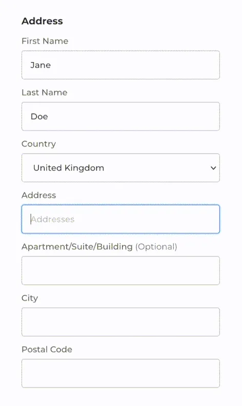
- Ensure accurate data when users are giving address information.
- Speed-up processes like national ID creation, visa applications, any change in address...
Enhancing public services with geolocation technology
Woosmap supports the digital transformation of the public sector
Since the new plan 2030 Digital Compass, governments across Europe are committed to accelerating the transformation of their services.
They aim to make public services digital, more efficient, and more responsive for the UX.
Supporting this digital transformation is crucial for better public services answering people's need with efficiency, rapidity and simplicity.
Administrative services
Simplify procedures and enhance quality of services
It is now necessary to leverage geolocation solutions to streamline complex procedures that can be time-consuming!
For administrations
Benefits the UX greatly
Jobs and missions
Creating user-friendly and attractive job hunting platforms!
Finding a job or a mission "in the area" is usually easier for candidates because it’s more visually enticing!
With geolocation parameters like “postcode area” or “user’s proximity”, finding a job closeby or in a defined area has never been easier!
" With the option of a radius of search around you, we are enabling young people to refine and personalise their searches. We've simplified the whole application process to reach even more young people and encourage them to apply online."
" With the option of a radius of search around you, we are enabling young people to refine and personalise their searches. We've simplified the whole application process to reach even more young people and encourage them to apply online."
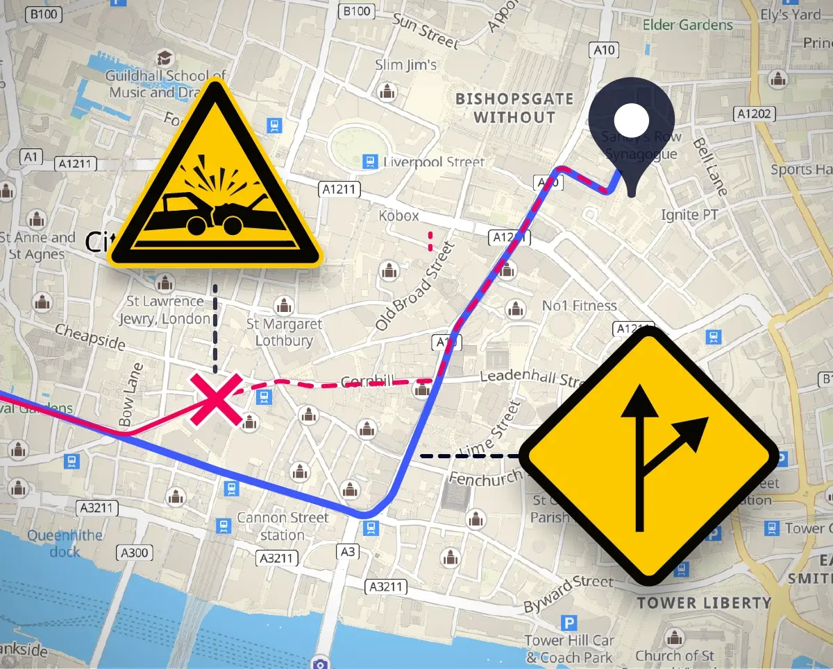
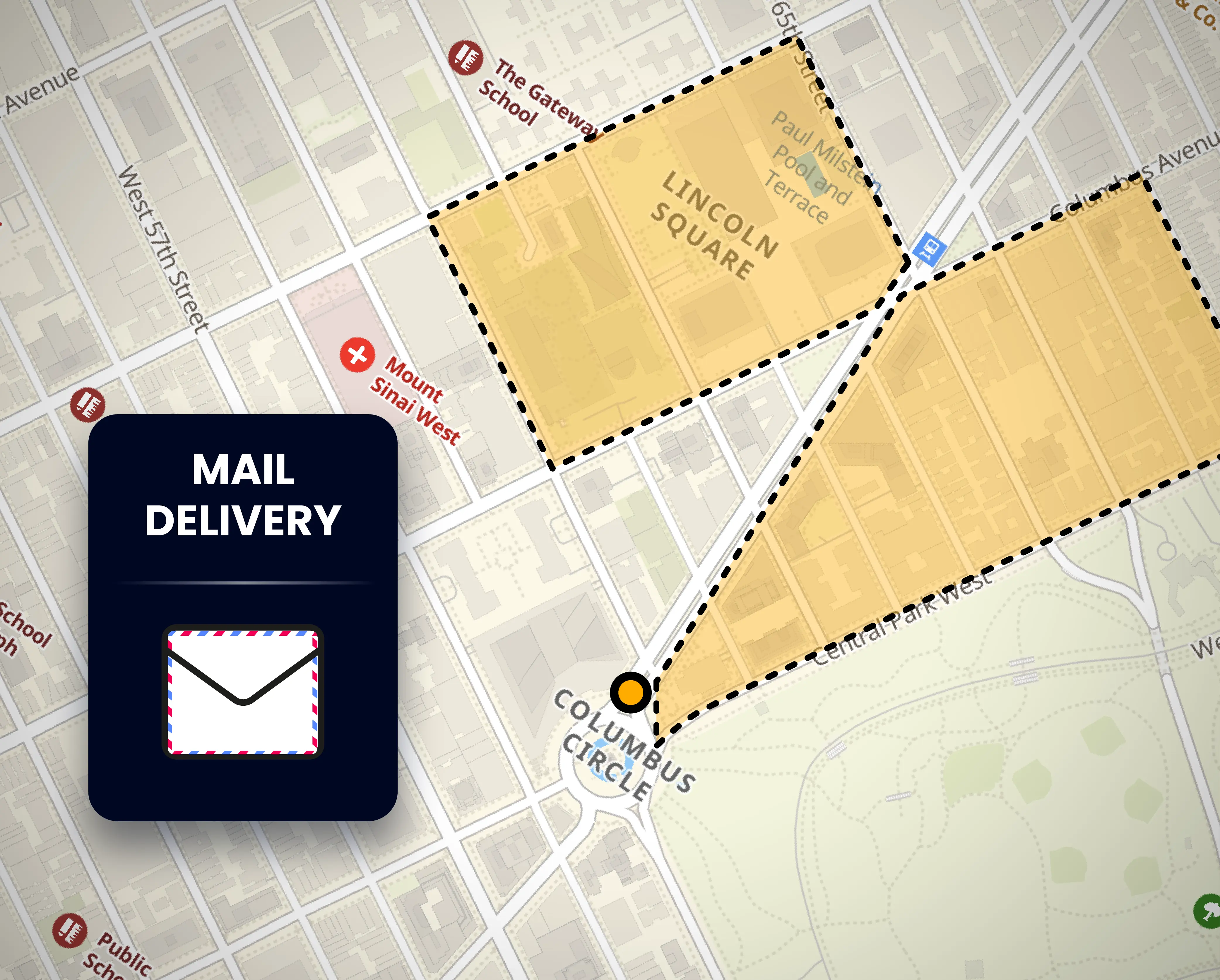
Postal services
Ensure the optimisation of postal deliveries with accurate postal addresses:
- Eliminate errors in delivery by using geolocation to verify and validate addresses,
- Reduce delivery times and costs by optimising existing and new delivery routes.
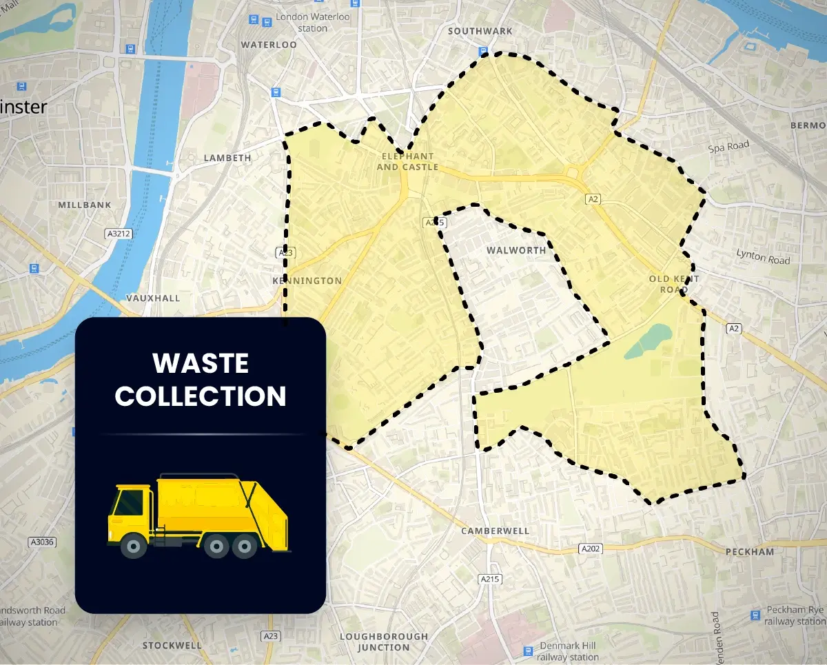
Waste management
Optimise operations with accurate address data
Streamline logistic operations in waste collection and disposal:
- Improve the efficiency of waste collection routes by leveraging Localities API, showing the right destination every time.
- Enhance the punctuality and reliability of waste management services.