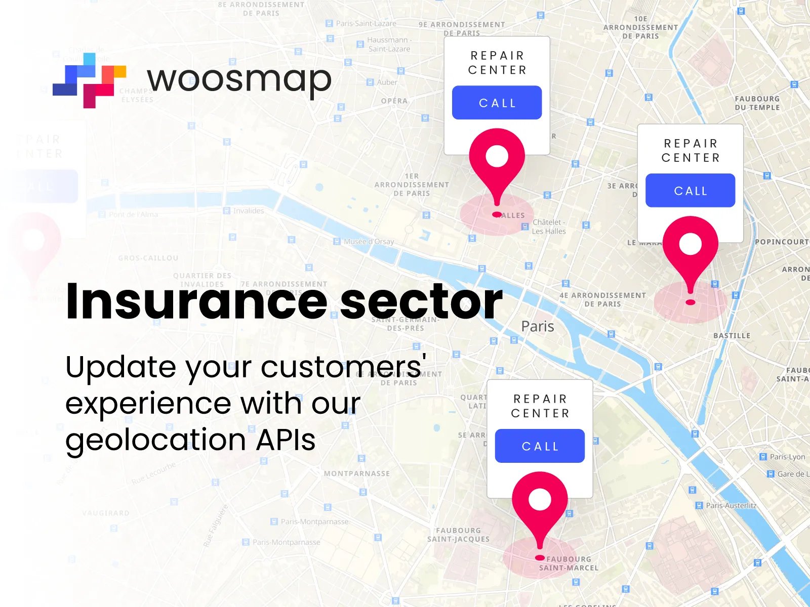
Insurers: update your customers' experience with our geolocation APIs

In our lastest article, Mathilde Lemaire, Territory Manager Benelux & Nordics at Woosmap, talked about how the insurance sector can take advantage of geolocation tools and how these tools will progressively become essential for the user experience.
Let's see more in detail how Woosmap can help with its solutions!
What services does Woosmap provide for the insurance market?
Woosmap provides the insurance sector with a complete API and SDK platform for indoor and outdoor geolocation. We work with our own data sourcing and that of selected partners, without collecting any personal data.
Our easy-to-integrate mapping and geolocation APIs enable you to :
- search with autocomplete address entry: Store Locator (to display thousands of points of sale seamlessly on a dynamic map). Localities (to search for addresses and postcodes).
- calculate distances and routes (car, pedestrian, public transport).
- implement geofencing. With the Woosmap Geofencing SDK.
- create indoor mapping. This can be coupled with outdoor mapping to provide a seamless experience for the end user.
We also provide a Widget. It enables our customers to create and customise their own agency locator, services locator or store locator.
What are the benefits of an API strategy for the insurance sector?
Insurers' ambitions for innovation are often held back by the weight of their technological legacy. Mergers & acquisitions and the management of multi-country applications also complicate projects. With an API approach, insurers can gain in agility, performance and security, while keeping their IT budgets under control.
APIs (Application Programming Interfaces) allow insurers to expose their services. And to integrate them easily with other systems and applications. For example, automation and AI APIs (including chatbots) to improve claims processing, write policies and speed up customer service. As for mapping and geolocation APIs, they help to improve the customer experience and retention rates. Because they can be used to provide personalised services based on the location and movements of customers, and even their exposure to weather or environmental risks.
How can we reconcile innovation and the protection of personal data in the insurance sector?
Insurers can imagine innovative new services based on the detection of their customers' location. For example, adapting insurance contracts based on the detection of consumer behaviour and travel patterns. These "location triggers" can be used to send a message to a customer suggesting that they adapt their home insurance policy if they are often away from home.
Of course, these strategies require the customer's consent to communicate their location, for both ethical and legal reasons, in compliance with the General Data Protection Regulation (GDPR). Consumers' explicit consent must therefore be obtained through their insurer's mobile application. Or when browsing its website. The vast majority of insurers (71%) are fully aware of the importance of respecting privacy. With the financial, regulatory and reputational impact of a personal data leak or theft (PWC Global risk survey 2022).
The insurance sector therefore needs to develop impeccable expertise in the field of privacy. And it needs to surround itself with partners like Woosmap who have the same commitments. That's why Woosmap's APIs and SDKs do not collect personal data. Our technologies embed the intelligence of geolocation data in the user's phone. This data is never outsourced to a server or the cloud.

How does Woosmap see geolocation innovating in the insurance sector by 2030?
Anticipating risks and trends is the core business of insurers. So we're proud to already be contributing to innovative projects by major players in the insurance industry.
Mobile applications are a particularly interesting area of experimentation for the insurance industry. We already have examples of services where an insurer is facilitating the transition to electric vehicles. Other ecomobility services (cycling, scootering, car sharing, carpooling) can create value for different customer segments. Depending on how they travel and their consumption habits.
For example, an insurer could offer a dynamic map of partner shops and restaurants. With special offers for car-sharing enthusiasts. Insurers can also develop brand loyalty by multiplying the points of contact or "touchpoints" with their customers within their applications. This type of project can remain simple. And quick to deploy, with the integration of turnkey APIs from trusted partners like Woosmap.
Contract can also be personalised even more thanks to geolocation mobile solutions. Depending on the user's localisation and distance from its insured property.
For example, an issurance for accidental fire could cost less if the user if close to their property because the risk of damages is lower. The person in being closer or in their property would be able to act more quickly and avoid much destruction. This way, geolocation tools allow users to pay less for times where the risks are low, and to pay the right price for when the risks are highs.