Effortlessly handle large volumes of geospatial data with fast, scalable queries.
Woosmap Datasets API : augment your consumer applications with advanced geospatial analysis
Datasets API: Unlock the full potential of your geospatial data for millions of users!
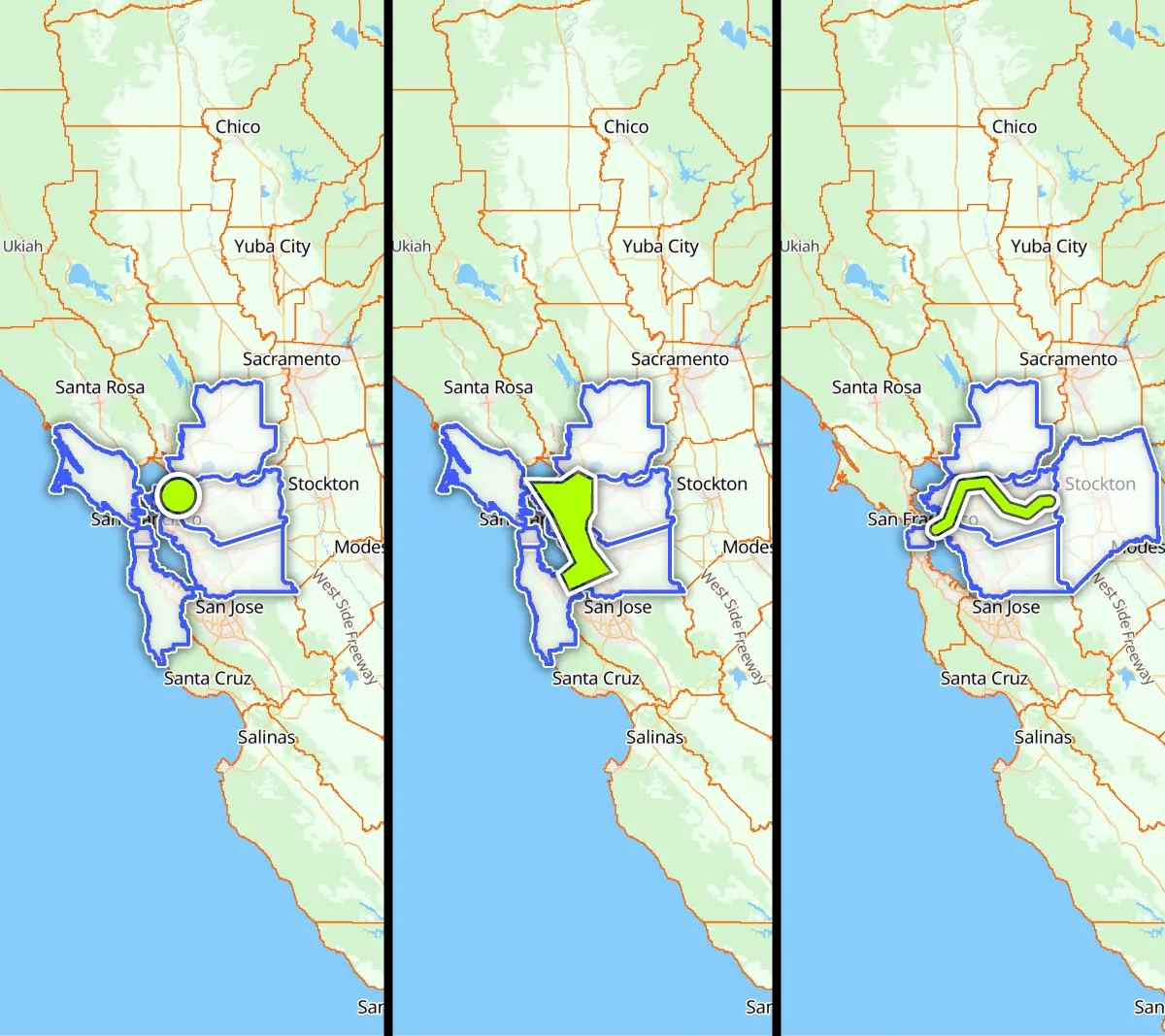
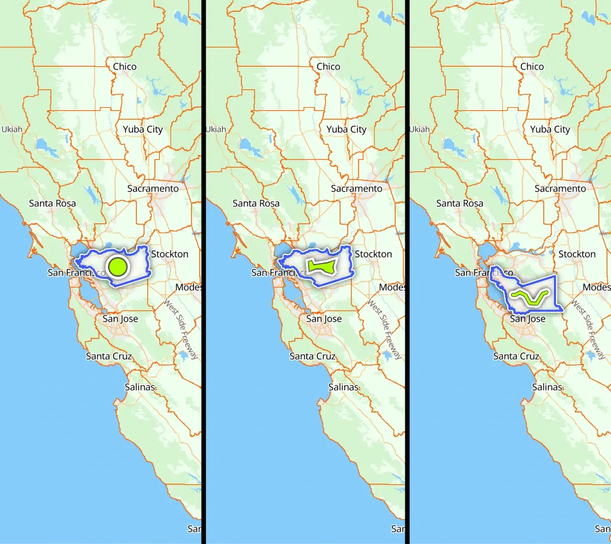
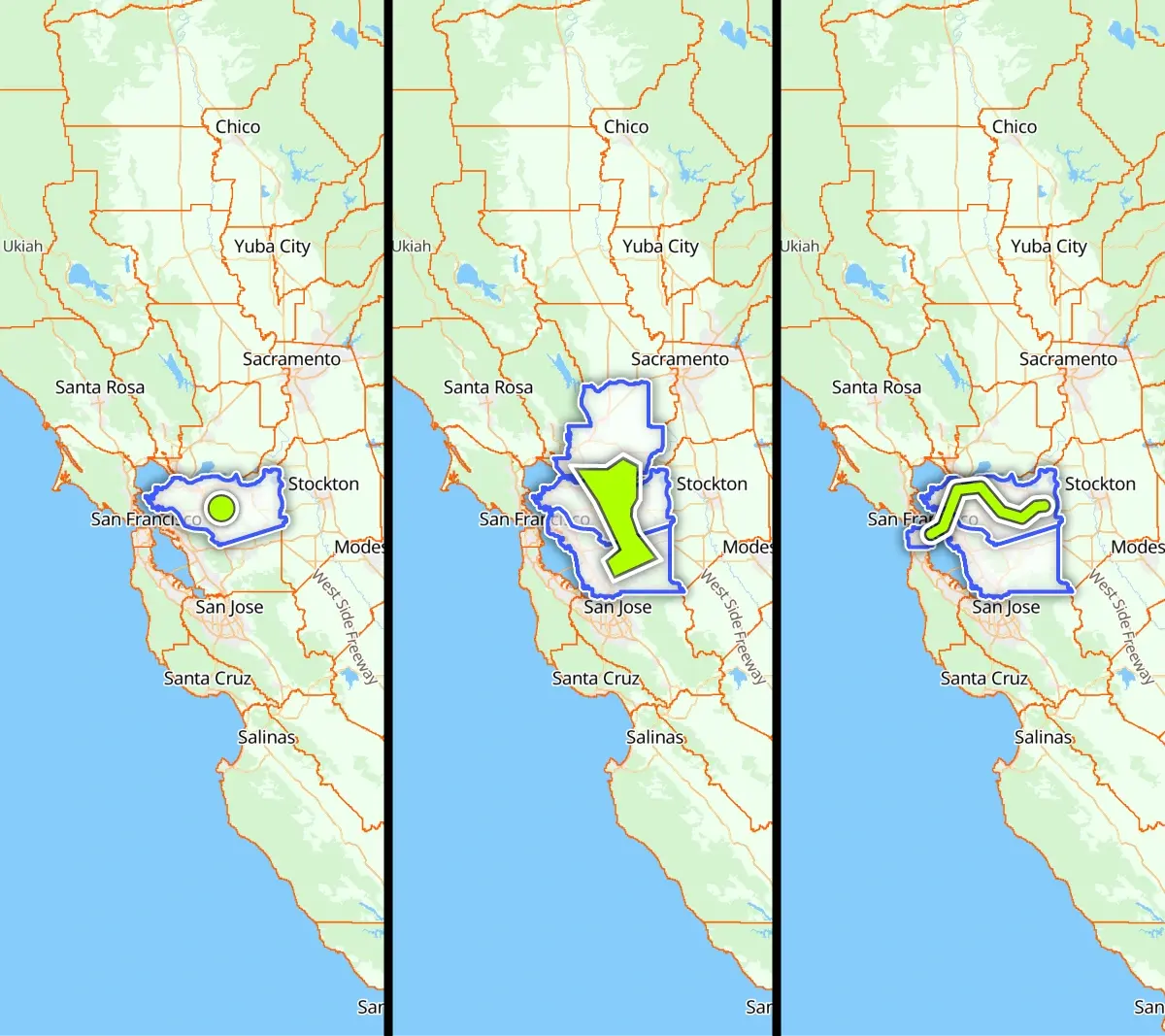
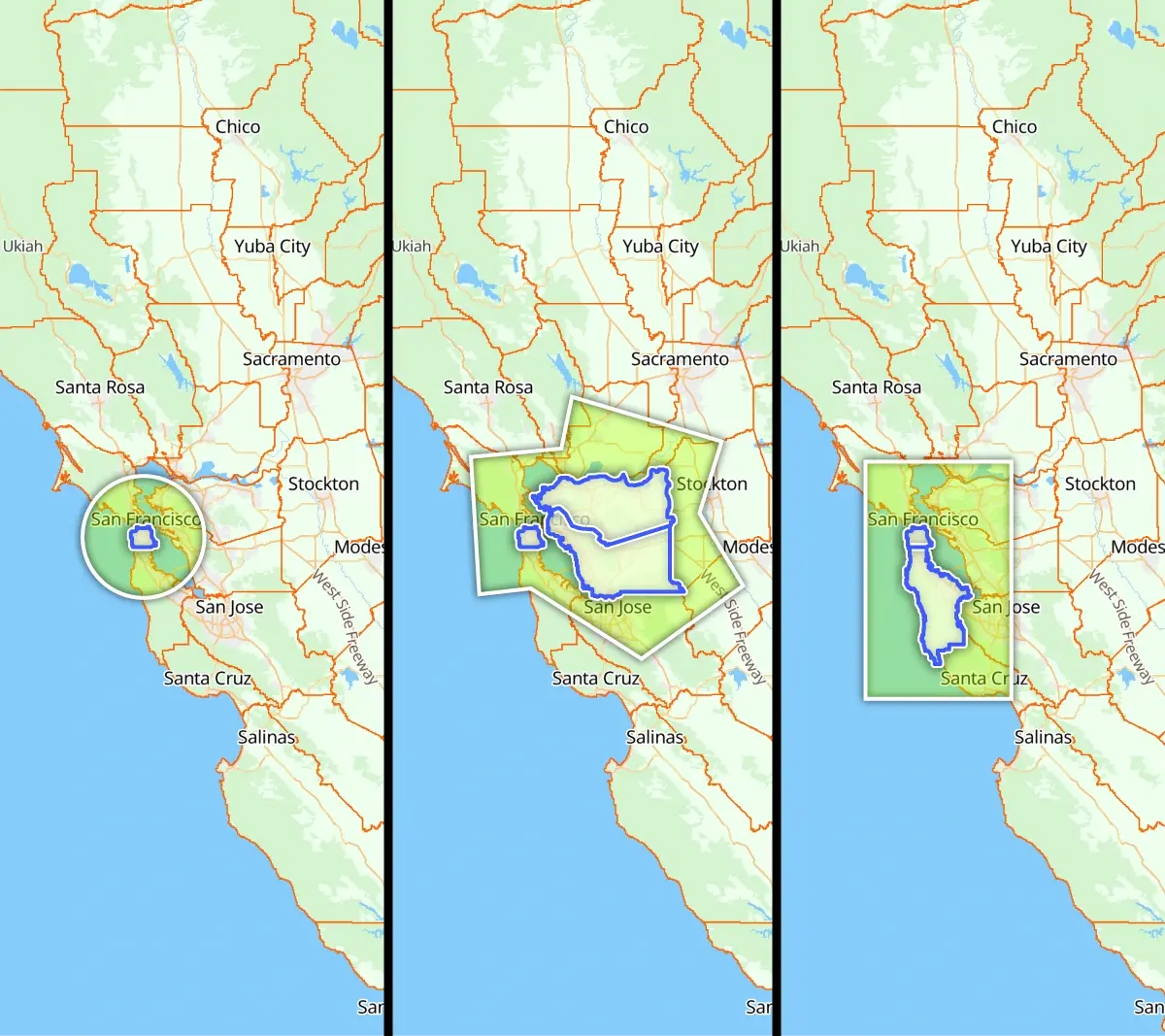
The Datasets API is your solution for advanced geospatial data handling. Effortlessly query, filter, and retrieve location-based data tailored to your application needs. Whether you're enabling real-time "near me" searches or optimizing operational zones, the API provides robust tools for precision and scale.
FAQs
A dataset is an organized collection of geospatial features, including points, lines, or polygons, stored and managed using the Datasets API. It serves as a flexible and editable resource for handling location-based data, enabling advanced querying and spatial analysis.
A feature is an individual geospatial element within a dataset, such as a point, line, or polygon, representing a specific location or shape in the real world. Each feature can include properties or attributes to provide additional information about the represented entity.
A spatial operator is a function or tool used to perform operations or comparisons on geospatial data based on their spatial relationships. Examples include determining whether features intersect, are within a specified distance, contain other features, or fall within a defined boundary. Spatial operators are essential for advanced geospatial querying and analysis.
The Datasets API supports datasets in Shapefile (Shp) format, a widely-used standard for encoding a variety of geographic data structures such as points, lines, and polygons. Shapefile ensures compatibility with GIS tools and easy integration into location-based applications.
GeoJSON is a widely-used, open standard format for encoding geographic data structures using JavaScript Object Notation (JSON). It is designed to represent geographic features along with their associated attributes and metadata. GeoJSON supports several geometry types, including points, lines, and polygons, and can also represent collections of these geometries, such as multipoints or multipolygons.
Key features of GeoJSON:
- Points: Represent individual locations with latitude and longitude coordinates.
- LineStrings: Represent a sequence of connected points, forming a line.
- Polygons: Represent areas with a series of points that form closed boundaries.
- Properties: GeoJSON allows each geographic feature to have associated attributes or metadata (e.g., name, ID, type).
GeoJSON is widely supported by various geospatial tools, libraries, and mapping services, making it a popular choice for working with geographic data in web and mobile applications.
Get in touch
Interested about Datasets API capabilities and benefits for your business? Let's discuss how you can leverage itwith an expert.
