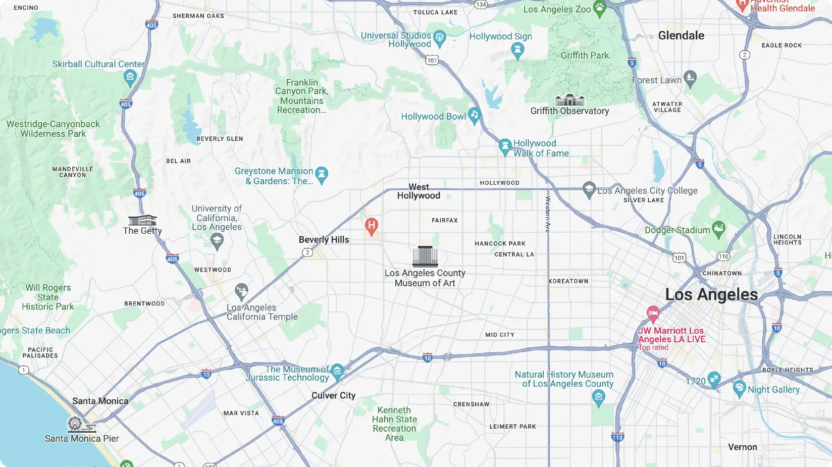
Top Google Maps Alternatives in 2024
In 2024, numerous maps and navigation alternatives to Google are available as robust apps for both mobile and desktop platforms. From real-time traffic updates and offline capabilities to detailed route planning and GPS features, the best alternatives like Waze, MapQuest, and Apple Maps offer diverse tools and services to enhance your navigation experience.
Why look for an alternative to Google Maps?
These last few years, we've noticed an increase in B2C organisations searching for alternatives to Google Maps. While popular with its high data accuracy, concerns around privacy and cookie tracking are getting more central, especially in Europe. It is crucial to recognize that Google Maps has been scrutinized for continuing to track locations via other settings even when location history is turned off, raising privacy concerns. More than ever, B2C companies are looking for accurate tools that can fit their needs more closely, and they are moving away from the “one fit all” solutions.
Choosing a location technology for your platform, website, or mobile application relies on more criteria than before: data precision according to use cases, navigation features, data management, pricing, and customization tools. Some alternatives like Waze, MapQuest, and OpenStreetMap offer apps with no behavioral advertisements, which can be a significant advantage for privacy-focused users. We evaluated several mapping solutions based on these factors. Let’s navigate through all the options and discover which alternative is best for your business and budget.
Top Google Maps Alternatives
Woosmap
Woosmap is a comprehensive mapping & geolocation platform offering advanced navigation tools for organizations seeking to optimize their users’ digital journeys with detailed location data. Compatible with both iOS and Android, Woosmap provides robust map APIs that can be seamlessly integrated into any platform or mobile app. Among its standout features are real-time traffic updates, offline maps, and route planning services. A crucial benefit is that Woosmap APIs prioritize user privacy from start to finish, not collecting personal data, which aligns with rising global standards for privacy technology.
Precise & adaptable
Woosmap has partnered with several key players in the mapping and navigation sector, combining a variety of data sources for its APIs to create products that often surpass the market or maintain a comparable level of accuracy. When searching for an address or postcode, Woosmap’s robust data sourcing is based on the best local data providers, ensuring detailed maps and accurate directions. This comprehensive level of data enables precise route planning for each use case, resulting in fewer errors and increased user conversions.
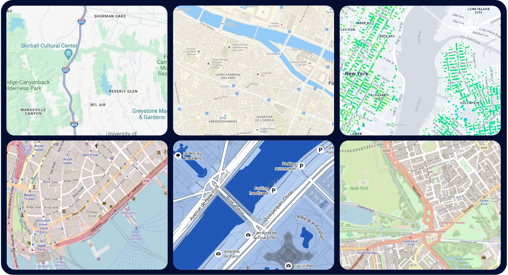
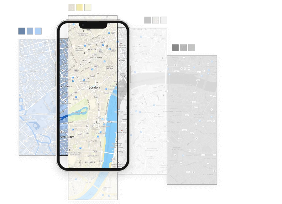
Every aspect of the Woosmap map is highly customizable, allowing you to tailor the navigation experience within your app. Choose which features to display: there's no need to show all the restaurants, shops, or cinemas in the area if they're not relevant to your business. Only display the services and points of interest that matter to you. For those who value unique branding and user customization, this level of personalized mapping offers a distinct advantage, enhancing the overall user experience on both iOS and Android platforms.
Similarly, for colors or icons, you can import your own and create a customized map that fits seamlessly into your platform or mobile application. Woosmap’s APIs have been developed as versatile tools that can be tailored closely to each use case, whether it's detailed route planning, real-time traffic updates, or offline navigation. As a result, all sectors without distinction, such as e-commerce, real estate, finance, healthcare, deliveries, public transportation, and more, can significantly benefit from its robust mapping services.
Developed with end-users' privacy concerns in mind, Woosmap does not collect any personal data during the use of its mapping and navigation products. By prioritizing user privacy, Woosmap ensures a secure and trustworthy experience for all users, making it an excellent alternative to Google Maps for privacy-conscious organizations.
Free account creation and subscription
You can already get started by downloading the Woosmap app or subscribing to their services, which include 40,000 free monthly credits (valued at $200). Implement the Woosmap Map and Distance APIs into your mobile application or website to enhance navigation and speed up your customer journey. For example, Wecasa conducted an A/B test using Woosmap's tools on their website and noticed a 35% boost in conversion rates!
Their pricing adapts to all budgets, making Woosmap a more affordable choice on the market compared to other navigation apps. Woosmap offers more than just maps; it provides several APIs that integrate seamlessly to create customized use cases for each organization. Whether you need to find a place, calculate road distance, guide someone outdoors or indoors, create a geofenced area, manage transportation routes, or leverage other advanced features, Woosmap's versatile software solutions can meet your needs.
Open Street Map
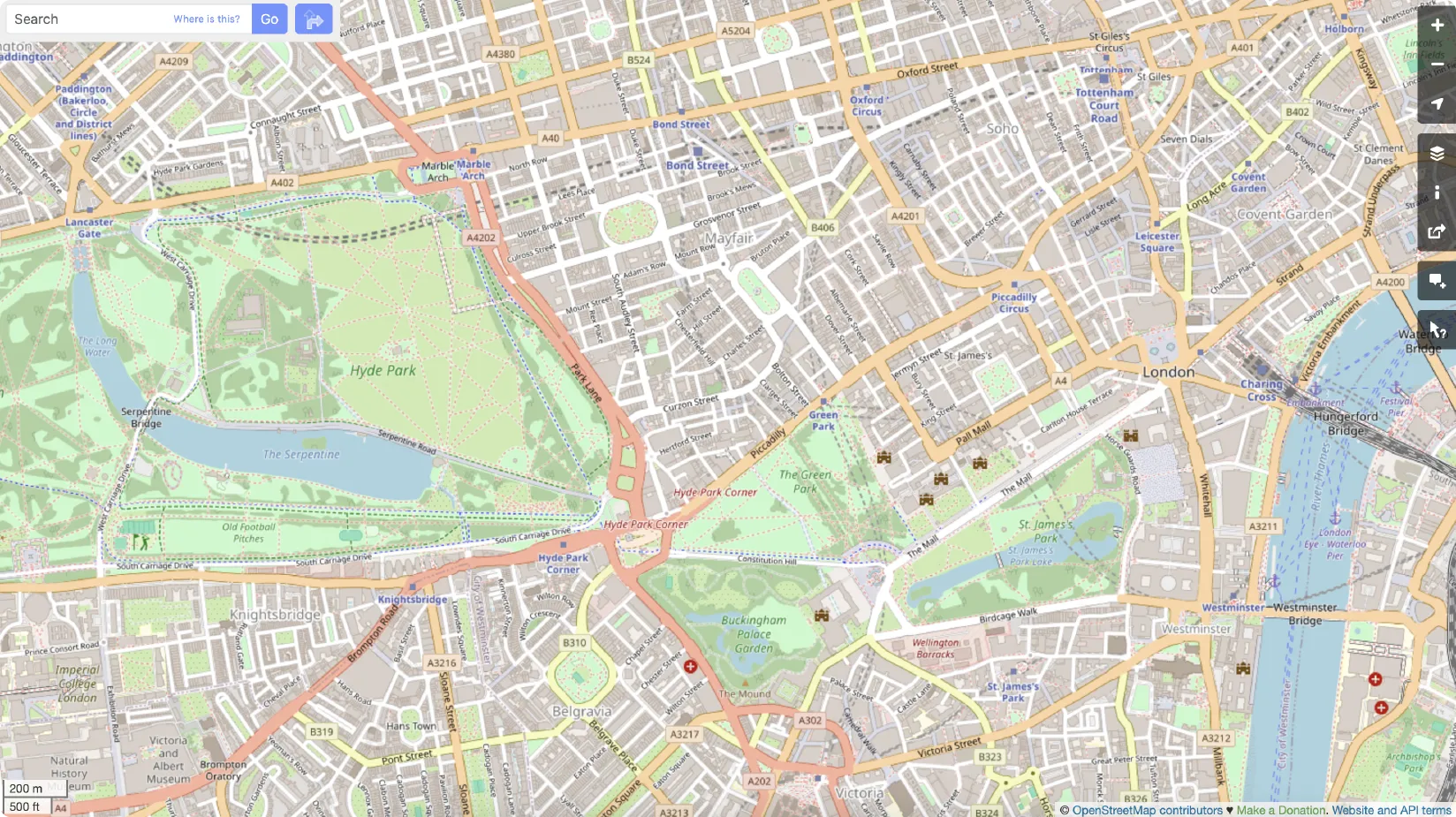
OpenStreetMap is one of the most popular mapping alternatives to Google Maps. It’s a versatile platform offering a range of navigation features and detailed maps for both mobile and web applications. OpenStreetMap provides several benefits for companies concerned about privacy, data collection, and customization. As a privacy-focused mapping alternative, OSM includes functionalities such as public transportation routes, real-time traffic updates, offline access, and extensive customization options to meet various mobility and transportation needs.
OpenStreetMap stands out due to its community-driven data contributions, allowing users worldwide to enhance map detail through collaborative efforts. This open-source approach ensures that any missing elements can often be quickly filled in by the dedicated user base. With users contributing detailed maps, navigation routes, and real-time updates, OpenStreetMap remains a dynamic and reliable alternative to other navigation services like Google Maps.
Open & free to use
OpenStreetMap was developed in 2004 relying solely on local contributors, emphasizing its open-source and free-to-use nature. As a mapping platform, it offers a wide range of navigation tools and detailed maps without any subscription fees. The platform is also GDPR compliant, ensuring that all collected data is handled responsibly and not linked to individual users. This compliance makes OpenStreetMap a secure and reliable alternative for businesses looking for privacy-respecting navigation and mapping software.
We must note that, due to its open-source model, the data quality and map detail on OpenStreetMap can vary by region, depending on the number of contributors and the availability of data for each area.
Great customisation
Thanks to its open-source vision, OpenStreetMap is highly customizable, offering organizations the tools to create their own maps tailored to their specific navigation needs. Businesses have greater control over the data displayed, allowing for specialized features and integrations into their mobile apps or platforms.
OpenStreetMap offers multiple layers on its maps, allowing for easy distance calculation and route planning for different mobility profiles such as car, cycling, walking, and public transportation. Additionally, it provides various visual modes, including traditional maps, aerial photography, satellite views, and detailed navigation directions. These features make OpenStreetMap a versatile tool for diverse transportation and mobility needs.
Due to the wide range of information gathered, OpenStreetMap can adapt to every navigation need and use case, whether it's for public transportation planning, detailed route mapping, or integrating specific services into your mobile application.
Cons
The main downside is that, due to the rich content and heterogeneity of data, the final map rendering is not always as polished as some other navigation solutions like Google Maps or Apple Maps. Additionally, utilizing advanced features and customization tools may require a learning curve for new users unfamiliar with the platform's software.
Tomtom
Tomtom is a comprehensive mapping and navigation solution with a strong focus on traffic services, targeting both enterprise businesses and individual consumers. TomTom specializes in real-time traffic data updates, addressing navigation challenges in the mobility and delivery sectors by road. Its robust features include detailed route planning, live traffic alerts, GPS integration, and customizable maps, making it a reliable alternative to Google Maps for various transportation needs.
Real-time data & privacy focused
Each TomTom product is designed to provide regular updates, ensuring accurate navigation information in real-time. It’s particularly useful for congestion updates, live traffic cameras, and dynamic route adjustments in high-traffic areas, which can help users navigate traffic-heavy routes more efficiently.
In parallel, TomTom is committed to privacy and protecting users’ personal information at every step. When using TomTom's navigation services, users are protected through a two-step process that assigns random IDs, and data is not shared with third parties. This focus on user privacy ensures that your navigation data remains secure and confidential.
Advanced customisation
Every business can access a free version of the TomTom app, but this version does not provide full turn-by-turn navigation and has limited offline capabilities. To access detailed directions and comprehensive offline map features, businesses may consider upgrading to TomTom’s premium services.
Nevertheless, the paid version offers customizable map views, sophisticated congestion updates, and advanced navigation tools, making it an excellent option for drivers who want to navigate traffic-heavy routes with ease and accuracy.
It also offers a range of mapping solutions, including APIs for developers to integrate navigation features into their applications, in-dash navigation systems for vehicles, and standalone mobile apps for iOS and Android. Furthermore, it allows users to easily switch between different map views, including 3D, satellite, and standard directions, enhancing the overall navigation experience.
Cons
The free version of the TomTom app does not provide full turn-by-turn navigation and has limited offline capabilities, restricting its use for detailed route planning or extensive navigation needs.
Mapbox
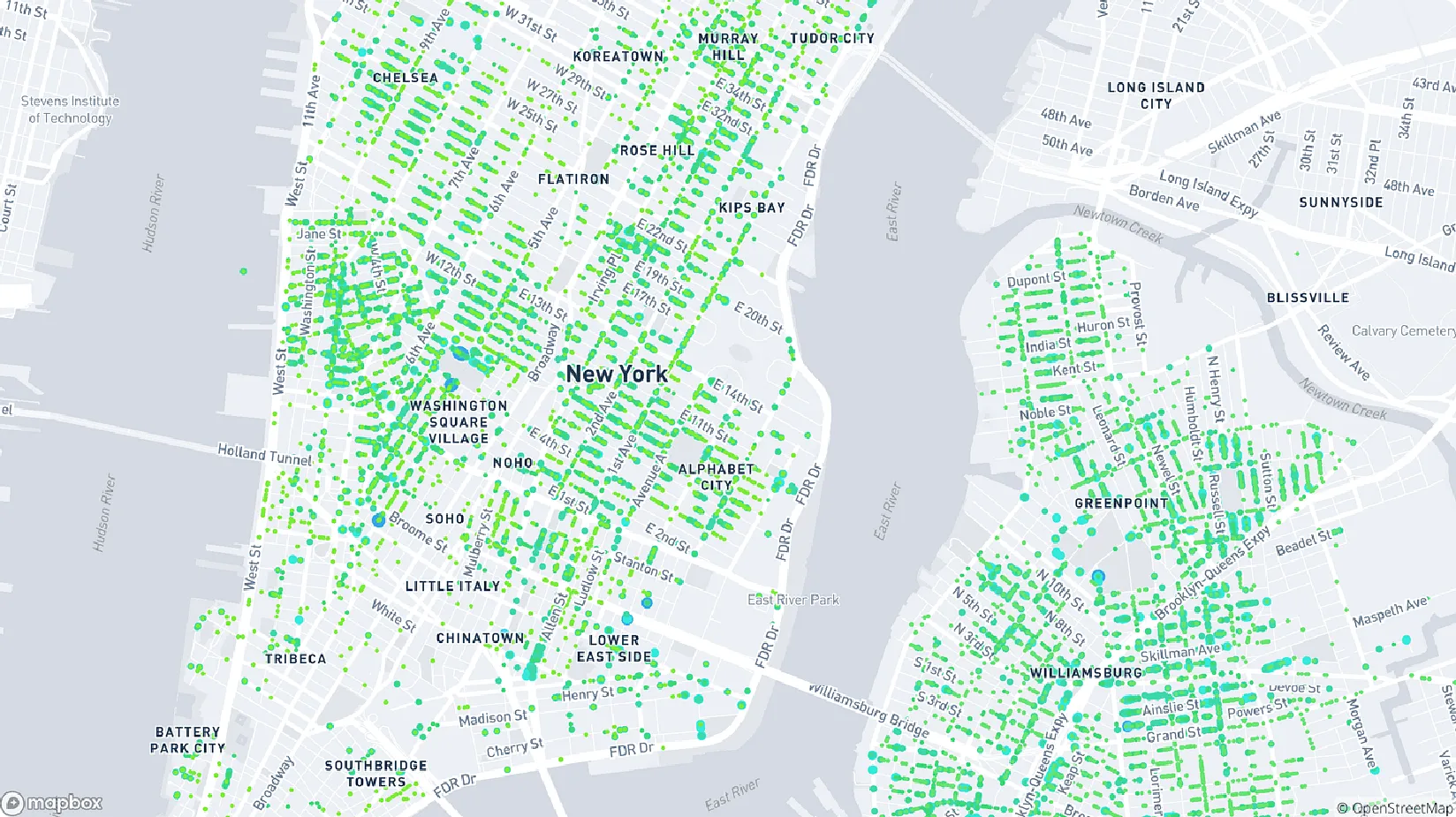
Mapbox is a versatile location platform that offers, among other solutions, a mapping tool designed to provide location intelligence and detailed map data to developers of mobility and logistics services, as well as various other industries. With features like customizable maps, navigation routes, real-time traffic updates, and GPS integration, Mapbox serves as a powerful alternative to traditional mapping services like Google Maps.
Accurate data & privacy
Mapbox delivers real-time and dynamic information to assist developers in making informed decisions about their navigation and mapping services. Although Google Maps has been on the market longer and boasts a more extensive database, Mapbox offers flexible mapping tools that can be more accurate and complete for specific use cases, depending on the data requirements and features needed for your application.
Overall, Mapbox anonymizes and pseudonymizes all user data during usage, utilizing it solely for product development and improvement. However, it should be noted that data is processed primarily in the United States, with a few servers located in other parts of the world, ensuring compliance with privacy frameworks in various European countries. This commitment to data privacy makes Mapbox a secure option for businesses focused on safeguarding their users' information.
Customisation focus
The range of solutions from customizable interfaces to turn-by-turn navigation and advanced search functionalities is important at Mapbox, as they focus their products on autonomous driving and sophisticated navigation systems. This allows developers to create unique map styles that match their brand identity and seamlessly embed maps into their website or mobile application, enhancing the overall user experience with tailored navigation tools.
This solution can fit many organizations' needs as the map customization integrates a wide array of features, such as detailed navigation routes, real-time traffic updates, and custom map layers. Implementation will mostly depend on the specific use cases and the level of customization required by each organization.
Cons
Mapbox’s costs can be high, particularly for larger enterprises seeking custom mapping and navigation solutions. Additionally, it's important to keep in mind that Mapbox is increasingly focusing on automotive challenges, such as autonomous driving navigation systems.
Mapbox primarily focuses on serving developers with advanced tools and APIs, which may not offer a user-friendly solution for non-developers seeking simple navigation apps or mapping software.
Here Technology
Here Technology is a robust mapping and navigation solution that primarily focuses on providing advanced navigation systems for automotive companies. Additionally, it offers a range of privacy-focused features for users who are concerned about their location data. With tools for real-time traffic updates, GPS integration, and detailed route planning, Here Technology serves both enterprise and individual users seeking reliable navigation services.
All the data you need
Here WeGo is one of the best alternatives for real-time traffic updates compared to Google Maps, particularly excelling in the automotive sector. It offers comprehensive traffic information, advanced navigation features, detailed route calculations, and vehicle-specific options such as fuel type. The level of data accuracy and the range of navigation services provided by Here WeGo are among the highest available on the market, making it a top choice for businesses and individual users alike.
On the other hand, Here WeGo allows users to easily disable minimal data collection and ensures that no information is shared with third parties, thereby prioritizing user privacy and providing a secure navigation experience.
Free account creation
The platform offers a free limited plan and a base plan adaptable to any budget, making Here WeGo a good alternative for any organization seeking to implement a robust map with advanced navigation systems and features tailored to their needs.
Cons
Upon reviewing the map, we noticed that the personalization features are somewhat limited with Here Technology. It aligns with Google Maps in offering a 'one size fits all' navigation solution rather than adapting to specific use cases, which may restrict customization options for certain businesses.
It is also worth noting that Here Technology may reuse non-personal information for various purposes, which may not align with strict privacy preferences. Personal data, if used, may be reused only internally for enhancing navigation services, ensuring that user privacy is maintained within their own systems.
Why businesses look for other options?
As the development of customized digital journeys increases, so do advancements in new navigation technologies. Google has established itself as a leader in the market by providing companies with simple solutions for location services. However, recent concerns about privacy and the high costs associated with Google Maps have led many businesses to seek alternative mapping technologies and navigation apps that better suit their specific needs and budget constraints.
Increasing Concerns regarding Data-privacy
In Europe, over the last few years, privacy concerns have escalated alongside the introduction of numerous new navigation tools and mapping services from both the western and eastern sides of the globe. Each continent and country has its own set of practices and laws regarding data collection, making it essential for businesses to choose mapping technologies that comply with regional privacy regulations.
Specifically in Europe, users are becoming increasingly aware of how their information is being used and collected by navigation apps and mapping services. As a company, it's vital to demonstrate to your customers that you prioritize their privacy by choosing mapping technologies that protect user data and adhere to strict privacy standards.
An Associated Press investigation found that many Google services on Android devices and iPhones continue to store location data even when privacy settings are enabled to prevent Google from doing so, further highlighting the need for a more secure and privacy-respecting location technology solution (Source: The Guardian, Google Records your location even when you tell it not to).
Another critical factor to consider when looking for a substitute to Google Maps is the level of control you have over your audience's information and data. Businesses that use Google Maps often risk revealing their audience's every move through extensive data collection and tracking, making it important to choose alternative mapping and navigation services that offer greater data control and privacy options.
Companies can protect their users and business data from being mined or tracked in unauthorized ways by switching to more privacy-minded mapping and navigation solutions, ensuring that user information remains secure and private.
The need of custom map design
Google Maps provides a one-size-fits-all approach, with every user seeing the same standard map and navigation features. As businesses strive to differentiate themselves and create unique user experiences, custom map design has become increasingly essential. By leveraging alternative mapping tools, companies can develop tailored maps that reflect their brand identity and offer specialized navigation functionalities to their users.
By choosing a location technology solution that offers extensive customizations, businesses can tailor their maps to meet their specific use cases, such as displaying selected places and omitting others, changing colors and icons, and integrating customized navigation routes. These capabilities allow for a more personalized user experience and align the mapping tool with the company's branding and functional requirements.
Make significant cost savings with an alternative
Google Maps can be significantly expensive for small businesses, with its high costs for extensive usage and premium features. Many companies operating on a tight budget may find it challenging to keep up with the pricing, leading them to seek out more affordable mapping and navigation alternatives that offer similar functionalities at a lower cost.
By considering more affordable mapping and navigation options, businesses can save significantly on their technology costs without sacrificing the quality and functionality needed for their operations. These cost-effective alternatives provide essential tools and services to support business processes while maintaining budgetary constraints.
When tool costs decrease, businesses can optimize their operations and create additional services with the money saved. They can innovate with new mapping and navigation services, provide more location-based data, and enhance their existing tools and applications—the solutions are limitless!
FAQ
Is there a better option than Google Maps?
Yes, there are several alternatives that might be better depending on your needs. Waze offers real-time traffic updates and community-driven reports, Apple Maps provides a privacy-focused and integrated experience for Apple users, and HERE WeGo offers robust offline navigation and public transportation features. Additionally, Woosmap specializes in geolocation services with a focus on privacy and advanced mapping tools, offering highly customizable solutions for businesses looking to enhance location-based services.
What is replacing Google Street View?
Alternatives to Google Street View include Panoramax, an open-source photo-mapping platform; Mapillary, a crowd-sourced platform with over 2 billion images; and KartaView (formerly OpenStreetCam), which allows users to contribute and view street-level imagery. These platforms offer similar functionalities through user contributions and open-source licenses.
Is Waze still better than Google Maps?
Waze is better than Google Maps for drivers seeking the fastest routes and real-time traffic updates, as it aggressively reroutes to avoid obstacles and incorporates user-reported hazards. However, Google Maps is more comprehensive, offering navigation for various modes of transport and more detailed map features .
What is the best online map?
The best online map depends on your specific needs, but here are some top options:
- For general navigation and features, Google Maps is often considered the standard
- For privacy-focused users, HERE WeGo and OsmAnd are strong alternatives.
- For offline maps and travelers, Maps.me is highly recommended.
- For Apple device users, Apple Maps is a seamless and integrated option.
About Woosmap
Woosmap empowers businesses to optimize Location Services and Intelligence with precision and efficiency. By leveraging advanced geolocation, Store Locator, and Map API tools, Woosmap ensures accurate deliveries, streamlines address entry processes, and enhances customer satisfaction. With a strong commitment to privacy, Woosmap delivers innovative, GDPR-compliant solutions that do not collect personal data, making it a trusted partner for companies prioritizing both performance and user trust.

